
By Mariah Cannon

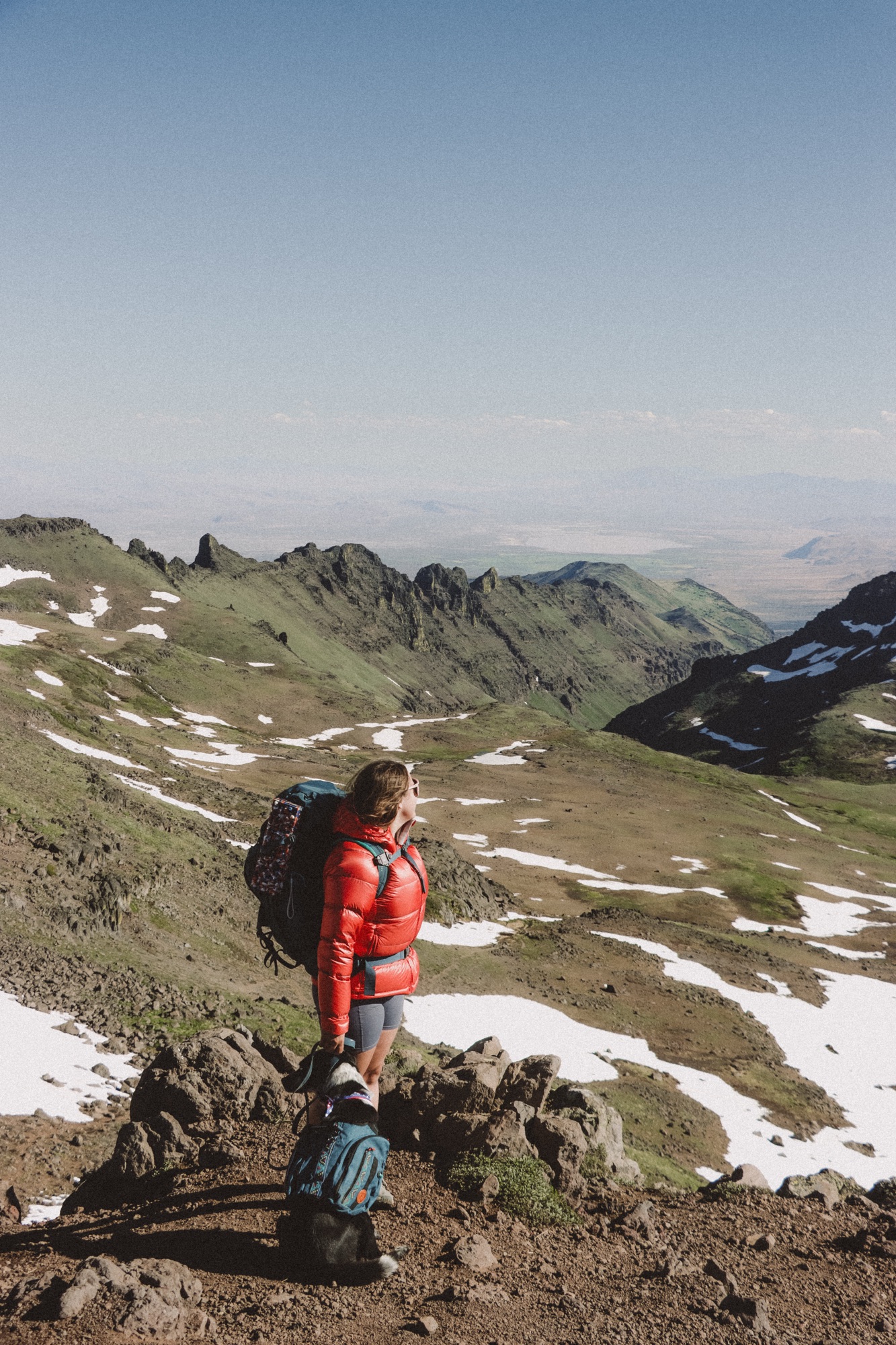
Cody and I recently visited Bryce Canyon National Park; one of the sixty-three national parks that has been on my list for probably the longest and I finally got to check it off my list!
Originally I had planned for two full days in BCNP, but we actually ended up only spending a little over half a day in the park and we started a little after sunrise. I’m going to share everything we did and provide the perfect adjustable itinerary for when you only have a day or less in the park.
If you’d prefer to watch a video on our time there, you can check out my YouTube video where I documented most things we did throughout our time in BCNP.
Disclaimer: This blog does include affiliate links, meaning if you click on a product link and choose to purchase it – I get a small kickback at no additional cost to you. Shopping these links helps me keep my dream of being a full time traveler alive and I appreciate it so much!
I use AllTrails Peak to download all of my maps and track my hikes. You can get it for 30% off your first year here.
History of Bryce Canyon National Park

Now, I won’t spoil all of the fun; but here is a quick overview of how Bryce Canyon came to be, a little about the formations, and some fun facts!
How Did Bryce Canyon become… Bryce Canyon?
Geologically speaking, Bryce Canyon was formed a long long time ago by a few things. One being deposition of lay flat rocks. Where Bryce Canyon and it’s hoodoos and formations sit today at 8,000-9,000 feet above sea level, once was a floodplain system or an ancient lake basin. And you might be wondering, how does it go from floodplain to 9,000 feet above sea level… Crazy, right?
Well, in part to that – two tectonic plates (Farallon and North American) collided head on and the Farallon plate went under the North American plate and over several hundreds of years, it has began to break away which allows hoodoos and formations to travel from sea level all the way up to high altitude.
And contrary to what you might think, these hoodoos have not always been here. So, while all that tectonic movement and collection of sandstone, limestone, and other minerals and rocks has been happening – weather has been doing it’s own thing. Yes, the weather created the stunning orange towers people travel across the country to visit every single day. Most of Bryce Canyon started out as plateaus and as freezing temps, snow, rain, wind, and hot Summer days have come upon Bryce – it begins to slowly weather away. It goes from the plateaus to walls and windows or arches and then to what we see currently, the hoodoos.
So as everything is still moving and weather is still playing a role in the development of BCNP, who knows what it might look like in 200 or even 500 years from now!
Where’d it Get its Name?
Bryce Canyon was named after a man and his family. Ebenezer Bryce was a Scottish mormon who immigrated to the U.S. in the mid 19th century. He married Mary Ann Parks near SLC and moved his family to Southern Utah in the mid 1800’s. He built a community down near St George, Utah and built a church – that is actually still used today and is the oldest chapel being used in this region of Utah.
Ebenezer tried to raise cattle once they settled near Bryce Canyon, and due to the extremely harsh desert weather and lack of resources, he was very unsuccessful and most say that is why Bryce Canyon became Bryce Canyon; because of him and his entrepreneurial spirit in everything he did. Ebenezer lived a long and fulfilling life from 1830-1913, where he passed in Bryce, Arizona.
Fun fact about the Bryce family; they had 12 children!
Fun Facts about Bryce Canyon National Park
- Despite the hoodoos being Bryce Canyon’s most popular feature, the park is lined with forests and vast plateaus.
- The nearby Paiute tribe often thought of Bryce Canyon to be very powerful and often feared the areas because of how powerful it felt. They believe the hoodoos are legend people and that the mythological Coyote God turned them all from humans into the hoodoos we see today.
- Although the name implies it’s a canyon, it is actually made up of 12 amphitheaters because a canyon is shaped by a river and an amphitheater is shaped by the elements over time.
Aren’t those fun?! Some of them, I had no idea about. I won’t spoil all of it for you, the rest you’ll have to learn when you visit the park!
Thing to Know Before You go!

- You will need a National Parks pass, which you can buy here – or purchase a day use pass. (Although those are quite expensive and if you plan to visit a few parks each year, it’s worth it)! The rules have changed a bit on these this last year, so make sure to do your research and/or chat with a ranger upon arrival.
- Be sure to bring plenty of sun protection, especially during the summer months. It can get warm out here and being so high in elevation, you’re at a much higher risk to sun exposure while outside! These are my favorite sun essentials for exploring.
- This park can get very busy, and I mean very. Plan accordingly – I highly recommend starting at the park no later than 7am to get good parking where you want and to have a little more solitude on some of the more popular trails.
- You will have very limited, if any cell service out here. Be sure to download maps, let people know where you’re at and when you should be back in service, and always have more snacks and water than you think you need.
- Dogs are only allowed at lookouts, in parking lots, and at campgrounds. They are not allowed on the trails. If you’re unsure about how to bring your pup to a National Park, read my blog “Traveling to National Parks with Dogs” for some helpful tips and encouragement!
What to do With One Day at Bryce Canyon

1 . Begin your day early at Sunset Point

This is probably my favorite spot for sunrise, even though the name implies it would be good for sunset! Begin your morning here with a cup of coffee or hot cocoa and watch the sun light up the hoodoos.
2 . Hike Down into the Navajo Loop & Queens Garden Trail From Sunset Point

Right after sunrise, we began the descent into walk amongst the hoodoos (a truly unforgettable experience) and hike the Navajo loop & Queens Garden trail. This trail is 3.3 miles round-trip with about 660 feet of elevation, most of it when you begin the ascent back up to the rim at Sunrise point. You can also do this loop beginning at sunrise and end at sunset, it combines on the rim with a paved flat walking trail.
You can also add Wall Street into this, which is an iconic section of switchbacks that you see all over instagram. Sometimes in the wet months, it can be closed due to hazardous conditions.
3 . Head Over to Bryce Point

Bryce Point is a short .3 mile round-trip walk from the parking area to an overlook that shows the opposite side of what you seen at sunset point and you can actually see people hiking below if you look closely!
I really liked that most of this was paved and accessible for a lot of people. You can also jump on the below the rim trail from here and drop down into a trail called “peek-a-boo loop”. We had originally planned on combining this loop into our Navajo and Queens Garden trail, but initially decided we would be okay without it.
4 . Swing by Paria View

A short .4 mile out and back, paved path to a view of some hoodoos that are notably larger than the ones at Sunset Point, but there are fewer of them before it turns into forest and plains at the bottom.
We really loved this one, for multiple reasons – we had the whole thing to ourselves for the 20 minutes we were there and it just felt so peaceful, gave a whole new feeling to the area.
5 . Go for a Short Hike up Inspiration Point

Inspiration Point is a series of three overlooks; lower, middle, and upper. All three provide a slightly different view of the same hoodoos and formations. It is about .7 of a mile round-trip from the parking area and is all dirt/rock/roots.
This is where the elevation starts to get to you if you’re not used to being 7,000-9,000 feet above sea level (much like Cody and myself were not). I kept wondering why we were huffing and puffing on something that would be so easy back home… Well, duh… Because we both live at about 2,500 feet above sea level – so that is a massive shift if you’re not acclimated to it.
But, a-last the views were worth it and we can say we did it. I particularly loved how there were a lot of trees mingled in around this trail, so it wasn’t just full exposure and looking at the same amphitheater again.
6 . Take a Quick Stop at Natural Bridge

I truthfully did not even know about this little gem! It’s a quick roadside stop on your way to the Southern end of the park. The bridge itself is super neat and crazy how over time, the weather and the elements have taken it from a whole solid thing, to a natural arch.
This is one of those areas where you take your photos and allow others to get in for theirs. We were behind a large group of tourists that took up almost the whole viewpoint sidewalk, it was a mad house.
There was also and older couple trying to fly a drone. Do NOT be this person, it is a serious federal crime to fly drones within national parks and you can get in loads of trouble. It’s best to stick to the selfie sticks and/or cameras!
7 . Fairview & Piracy Point

This little trail starts at Fairview point and follows a little path to Piracy point overlook. It’s a great little stop and most people don’t walk the little trail, so you’ll find a bit more solitude! It’s half of a mile round-trip.
8 . Hike the Bristlecone Loop

The bristlecone loop is where the road through Bryce Canyon ends. There’s a large parking area with pit toilets. I highly recommend combining this loop with Rainbow point and Yovimpa point to make it a 1.5 mile round-trip trail.
Start at Rainbow point, enjoy the views and continue onto the dirt bristlecone trail. You’ll come across a whole different side of BCNP, one where the forests are bright with color, not the valley and not the rocks. At 0.6 of a mile you’ll find the bristlecone benchmark, which is a round hut with loads of information on the section you’re in and the bristlecone pine trees.
Continuing on the trail, you’ll find the actual bristlecone pine and overlook. It’s super pretty and the bristlecone pine is huge right in front of where you’re looking!
Follow the loop trail and nearly back to the parking lot where it turns to man made trails, you’ll see the turn off and the sign for Yovimpa point, I definitely recommend checking it out! After taking in the last bit of views, continue on to the parking lot.
9 . Round the Day Out by Grabbing Souvenirs at the Visitor Center

And that will conclude your time in BCNP! What a jam packed day, but it’s so much fun and so worth it, especially if you’re limited on time.
If You Have Additional Time
- Hike the Peek-a-boo loop trail, a 5.2 mile hike with 1,500 feet of elevation gain. We wanted to do this one as I mentioned earlier – combined with Navajo and Queens Garden, but we had Maverick waiting for us, so we couldn’t leave him for an all day adventure!
- Hike the Mossy Cave trail, where you’ll find a waterfall, a super pretty creek, and a cave that typically has icicles hanging! We will be going back one day for this one.
- Take a scenic drive to Grand Staircase-Escalante National Monument, there’s tons of backcountry trails within in this National Monument and it’s also home to the famous Wave trail – that does require a harder to get permit.
- Check out the nearby Red Canyon. Cody and I’d favorite hike of the day was actually at the Red canyon, not even in BCNP. (Photos below)! It has a visitors center with an interpretive trail right from the parking lot that is glowing with orange and red rock. Along with some other trails throughout that are a sight to see. Two we would recommend are the Pink Ledges Trail & the Photo & Birds Eye Loop Trail! If you go in the evening, you’ll likely have it all to yourselves, we came back for sunset and it was perfect! Bonus – dogs are allowed on these trails!

Enjoy this guide on what to do in Bryce Canyon? Be sure to save it for future adventures!
Let’s Get Adventuring!
Mariah 🙂

Leave a Reply