By Mariah Cannon

Lookout mountain is one of my favorite trails in Central Oregon, it is absolutely gorgeous and one of the lesser known trails in the area – meaning you’ll find more solitude. If you want a hike with less crowds and excellent views, this is your summit! Without further ado, let me tell you about it!
History on Lookout Mountain
Lookout Mountain was originally started up in 1912, and a ranger was directed to just “go ahead and build it” with no real instructions or game plans. There was a road that they worked on for many years, according to the Crook County Journal, that went all the way up to the lookout summit. In 1920 a small cabin was added to the area, meaning it had two structures and a ranger lived up there through the whole summer. To 1921, where fire finders were installed and these devices were super advanced in being able to detect a fire within a minute and it could estimate the size and base of the fire as well as being able to figure out exactly how far it was from the fire lookout. Over the years and summers of rangers being in the tower, many fires were reported. The road is no longer accessible and is overgrown and you hike down on some of it coming down round mountain. The fire tower and cabin are no longer up there, thought you can still feel where they would be and picture what they would’ve looked like. The Bowman Museum in Prineville has tons of information on it and the people working in there are super kind and knowledgable.
Where is it?
Lookout Mountain sits about 31 miles East of Prineville, Oregon. If you’re coming from Bend, you’ll head North on US-97 for about 14 miles, before taking exit 124 towards Airport Way. Turn right at the light after you exit. You’ll turn right on SE Airport Way after 1.1 miles and in a little under a mile, you’ll turn right onto OR-126 West and follow it for about 47 miles all the way through Prineville. Once you’re out of Prineville, you’ll take a slight right onto Ochoco Creek road and from there you’ll continue for approximately 15 miles and there will be a slight dirt road to your right and the parking lot is just a couple hundred feet up.

Different Trail Routes
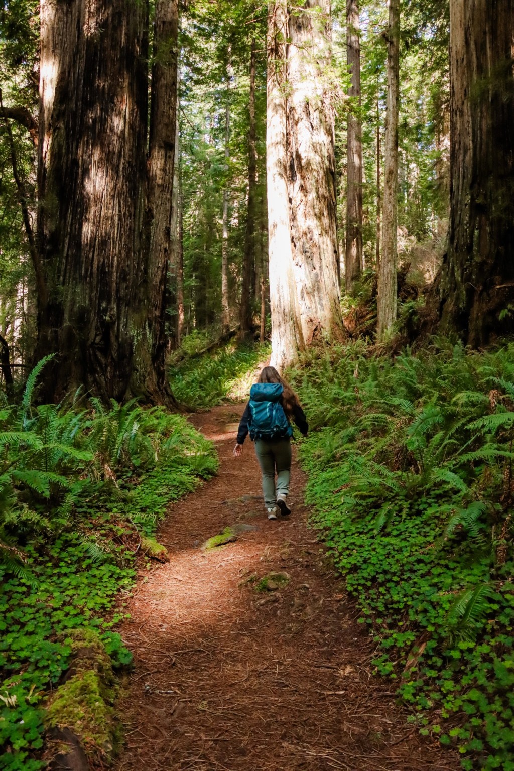
There’s technically three main routes you can take to make the summit of Lookout mountain. Lower Trailhead to Lookout Mountain, Upper trailhead to Lookout Mountain, and my personal favorite Round Mountain to Lookout Mountain, which is where I’ll pull the trail stats below from.
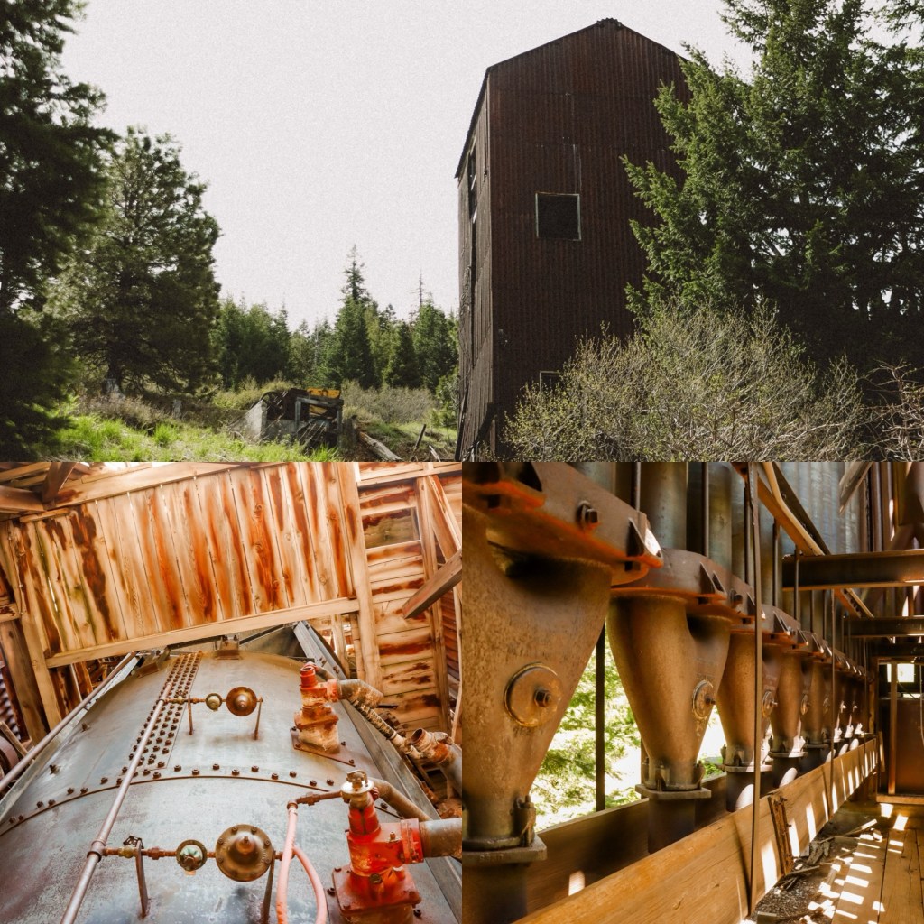
When you park at the trailhead, you’ll begin hiking to the right across the road and to the trailhead sign. You’ll remain on this trail until the summit. About 1.3 miles in, you’ll come to the Motherlode Mine before continuing on. At 3.8 miles in, nearly to the summit, if you take a small trail to the left – there will be a warming shelter that makes a good snack spot. To finish off the loop, when you come back down from the summit stay to the right where the trail splits in the photo below.
Trail Stats

Distance: 6.9 miles
Elevation: 1,512 feet
Hike Type: Loop
Difficulty: Moderate
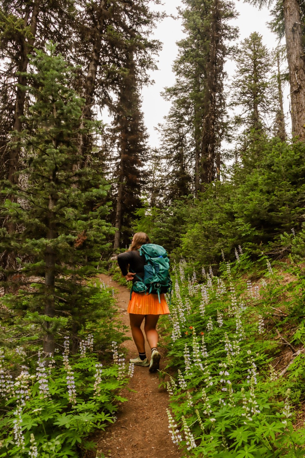
The trail starts off immediately lightly climbing and it has sections that are relatively steep and then flattens out here and there, which makes it nice to get your heart rate up and then catch your breath. The views along the hike are amazing, you’re forested for quite some time, with peaks of the Big Summit Prairie and surrounding peaks. Not long into the hike, there is a large red building with metal remains sprinkled throughout the area – that is the Motherlode Mine – and it is in great condition and is truly amazing. Mercury was mined here for several years in the early-mid 1900’s. Overall, the mine produced 352 flasks of mercury, each flask weighed about 76 pounds and was equivalent to half a gallon. You can walk up to the mine and explore around in it, use caution as it is an older structure and can be unstable and hazardous.

If you enjoy this mini hiking guide? Please be sure to save it for future hiking adventures!
Let’s Get Adventuring!
Mariah 🙂


Leave a comment