By Mariah Cannon
Spring time has arrived in Oregon. There’s no doubt about it, we have so many gorgeous places to visit during Spring. Sometimes, at least if you’re like me, it can be almost overwhelming to try and find the must see spots when Spring is only here a short amount of time. Here’s some of my favorites that I like to check out every year to really make me feel like I experienced Spring!
Bend
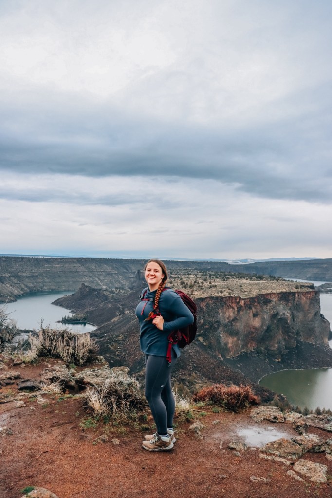
Tam-A-Lau Trail
Distance: 7 miles round-trip
Elevation: 823 feet
Hike Type: Lollipop Loop
Difficulty: Moderate
Dogs: On leash!
This trail offers great views of “The Cove Palisades” also known as Lake Billy Chinook and the cascade mountain range. Balsam root blossoms in this area, as you’re heading up to the loop, on the West side is where most of them can be found. This is a great trail to take on a mild-warm temperature day. I don’t recommend going after a large rain storm, because it gets muddy on the loop section. Hike the loop clockwise to have the best views on the way out and get the more bland sage brush section out of the way.
ATV trails cross with the hiking trail at multiple intersections, make sure to listen out for them before crossing.
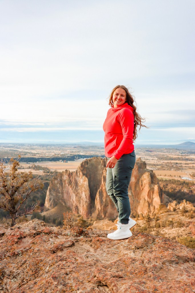
Burma Road
Distance: 7 miles round-trip
Elevation: 1,213 feet
Hike Type: Loop or Out & Back
Difficulty: Moderate
Dogs: On leash!
A Smith Rock classic that isn’t Misery Ridge. Burma Road is an old access road that is now used for trail runners, climbers, and hikers. Sweeping views of Smith Rock below, purple flowers in the Spring time, and a great view of the Cascade range.
West Metolius River to Wizard Falls Fish Hatchery

Distance: 5 miles round-trip
Elevation: 255 feet
Hike Type: Out & Back
Difficulty: Easy
Dogs: On leash!
More of a fun walk, than a grueling hike, but the views are to die for and your “end point” can be a fish hatchery (which I think is pretty great!). This trail is great during the Spring because of small purple wildflowers and the river is flowing like crazy.
Chush Falls

Distance: 5 miles Round-Trip
Elevation: 600 feet
Hike Type: Out & Back
Difficulty: Easy-Moderate
Dogs: On leash!
This is one of my absolute favorite trails to take on during Spring time. A relatively flat trail following a ridge line takes you 2.5 miles into Chush Falls. On a clear day, you’ll have a view of the three sisters and broken top. This goes through an old burn area and there is minimal shade coverage so be sure to bring sun protection. There is a couple of small creeks to cross, but nothing too crazy. You will not be disappointed by this trail! The road up to the trailhead parking lot has sharp rocks and doesn’t necessarily need a 4×4, but take your time getting there.
Columbia River Gorge
Triple Falls

Distance: 3.1 miles round-trip
Elevation: 859 feet
Hike Type: Out & Back
Difficulty: Moderate
Dogs: On leash!
Triple Falls goes on the side of the famous Oneonta gorge that is closed now. You’ll climb nearly 1,000 feet on the side of the ridge, over downed trees, and many zigzags to a large platform to view Triple Falls. You can go farther on the trail to view more waterfalls and gain more miles. One of my favorite gorge hikes!
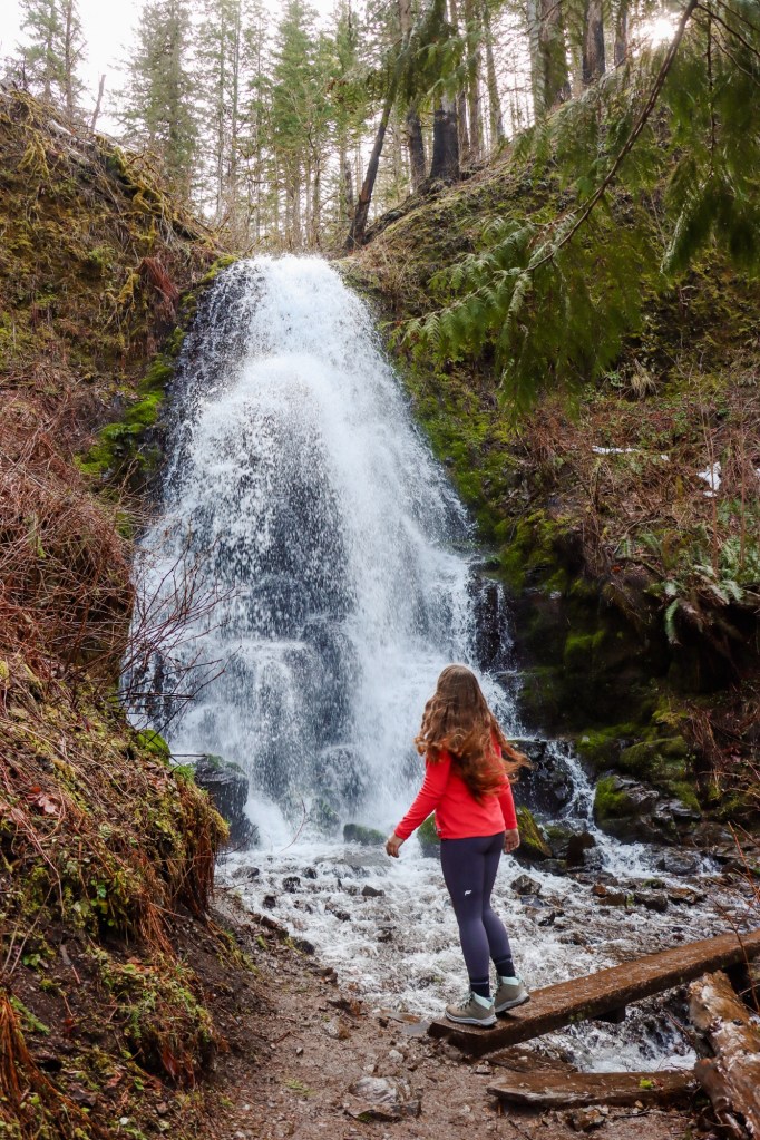
Wahkeena Falls
Distance: 3.5 miles round-trip
Elevation: 889 feet
Hike Type: Out & Back
Difficulty: Moderate
Dogs: On leash
A trail that starts off at the popular Multnomah Falls parking area, will lead you past a gorgeous creek to Wahkeena Falls, an overall 200+ foot falls, but pictured above is considered the largest portion you can see all together!

Distance: 1.8 miles round-trip
Elevation: 600 feet
Hike Type: Out & Back
Difficulty: Moderate
Dogs: On leash! (Although I don’t recommend it due to it being so narrow).
This trail is actually located on the Washington side of the Gorge, but is 100% worth the stop. You will need a discovery pass or pay a $10 fee for parking as it is a Washington State Park. This trail is literally built into the side of a rock and can get pretty narrow in certain areas. A total of 53 switch backs and many different and unique aspects to Beacon Rock. It’s a must do if in the PNW!
Coast
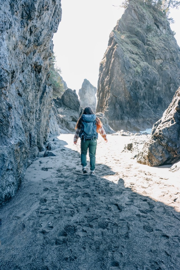
Secret Beach
Distance: 1.8 miles round-trip
Elevation: 292 feet
Hike Type: Out & Back
Difficulty: Easy
Dogs: On leash!
A whole hidden (literally!) oasis off the coast of Brookings, OR! You drop down slightly through tall pines and bushy ferns, before opening up into a stunning beach. This has everything – from coves, picnic spots, tide pools, and massive rock formations. We walked around the corner to find this view and our jaws Hit. The. Sand. It was insane!
Arch Rock Viewpoint
Distance: .3 miles round-trip
Elevation: 20 feet
Hike Type: Loop
Difficulty: Easy
Dogs: On leash!
This short loop trail is ultimately a walk and a good stretch of the legs while driving through this area of the Oregon Coast. You’ll overlook massive rocks sticking up out of the ocean as well as the main star of the show; Arch Rock. The water is incredibly blue/green and so pretty to see!
Young’s River Falls
Distance: .3 miles round-trip
Elevation: 50 feet
Hike Type: Out & Back
Difficulty: Easy
Dogs: Yes!
Not necessarily a large or difficult walk, but a stunning stop! The drive out to the falls is a bit longer, but so worth it. There’s a small parking area and a few stairs down to the river and over to the falls. Be prepared to get soaked!

Enjoy these trails? Pin for future adventures!
Let’s Get Adventuring!
Mariah


Leave a comment